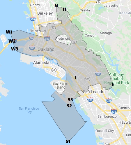
37°44’30.5″N 122°06’53.3″W (37.7418075-122.1148018)
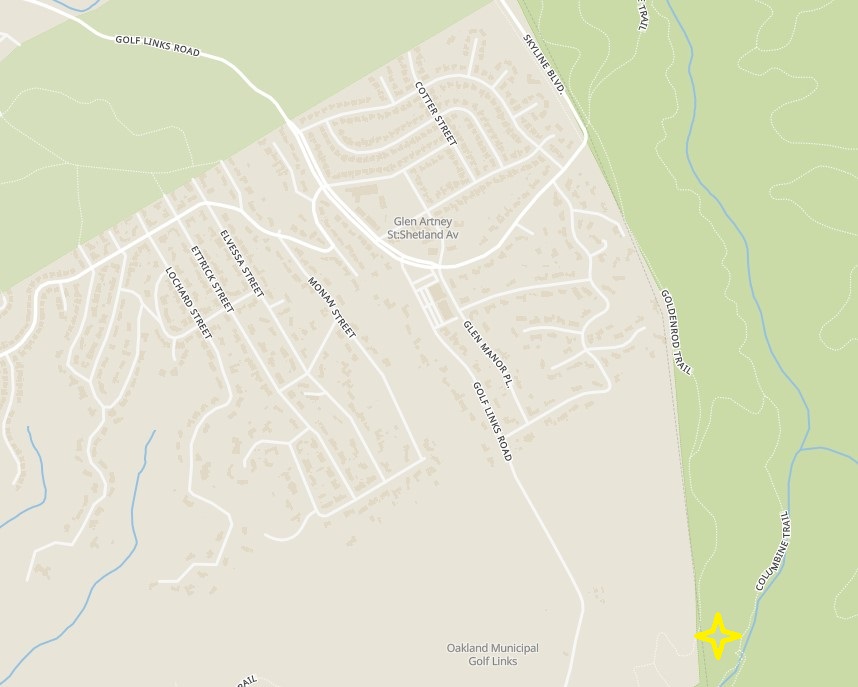
The easternmost point is about 110 feet east of the Goldenrod Trail in Anthony Chabot Regional Park, about 1/3rd mile south of the conjunction with Columbine Trail. This is about 800 feet east of the eastern edge of the lower fairway of Hole 1 at Lake Chabot Golf Course.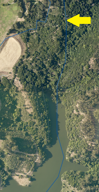
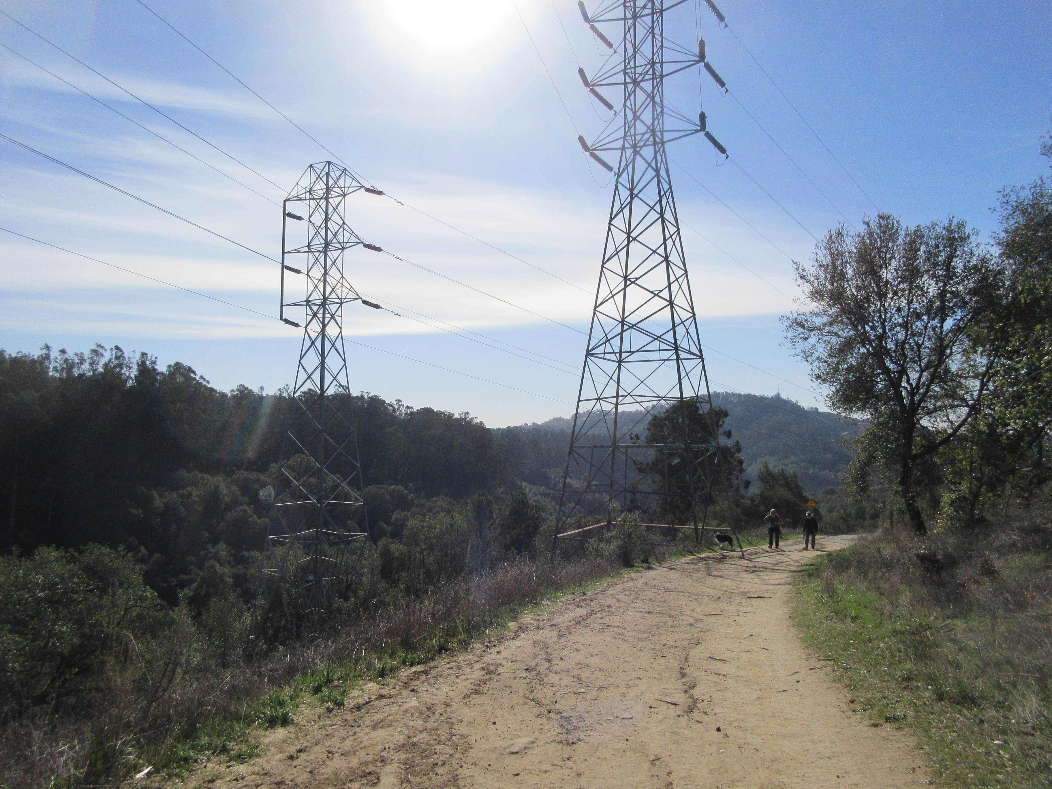
It’s on the far side of the left pylon, towards the lake.
I had to eyeball 100 feet south of the pylon and 110 feet east of the trail and pick a spot. There’s a stretch of abandoned trail/road there. 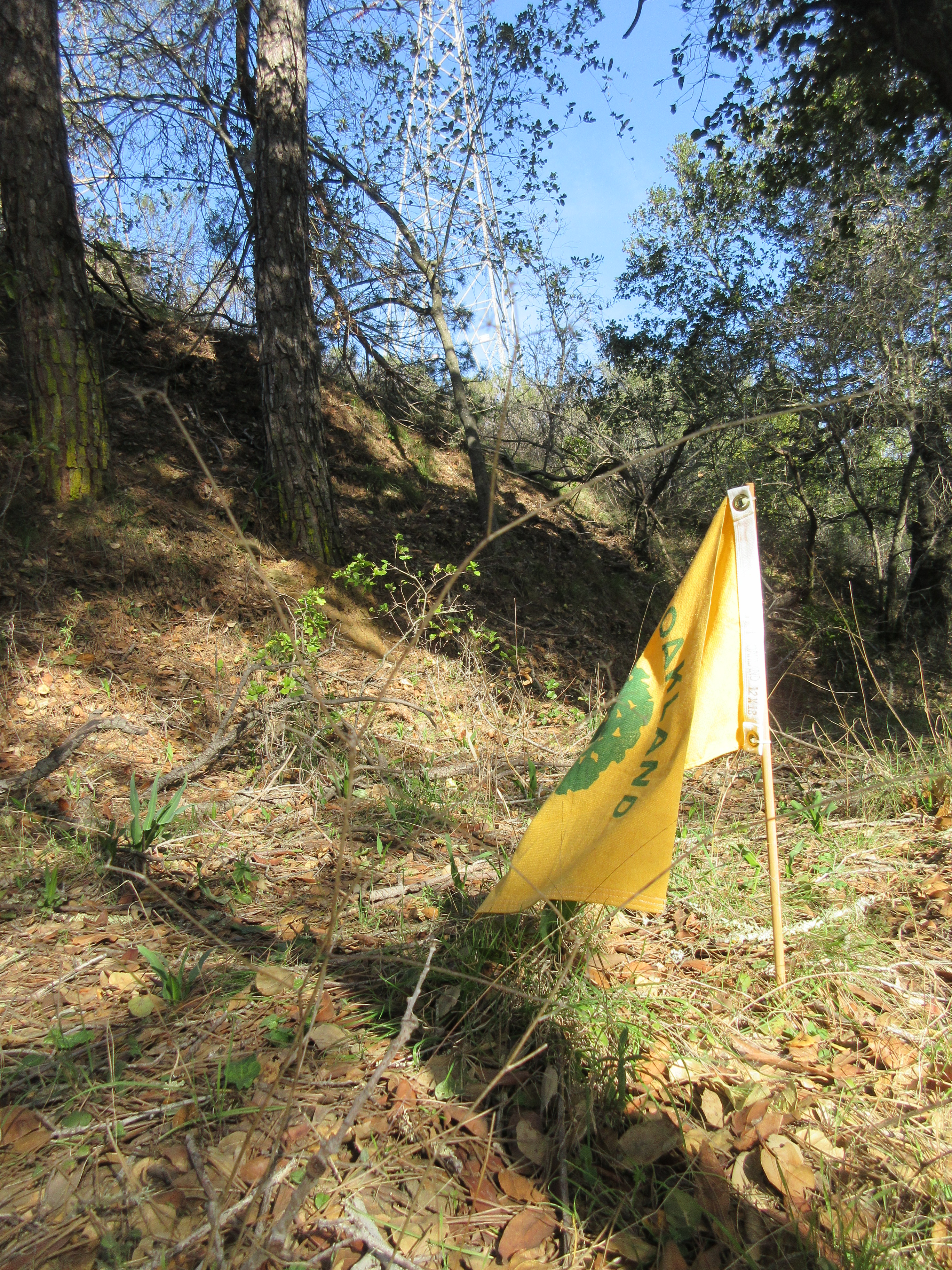

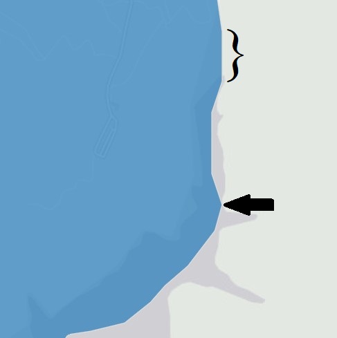
The point is at the top of a short, nearly vertical boundary segment (bracketed above), but the bottom of that segment is about 12 feet more westerly. Below it is a point in the lake (arrow above) that is about 34 feet more westerly, though above they nearly look aligned.
Some maps show a different boundary, I don’t know why. Open Street Map shows a definite vertex in near the creekbed of Grass Valley Creek, along the Bass Cove Trail:
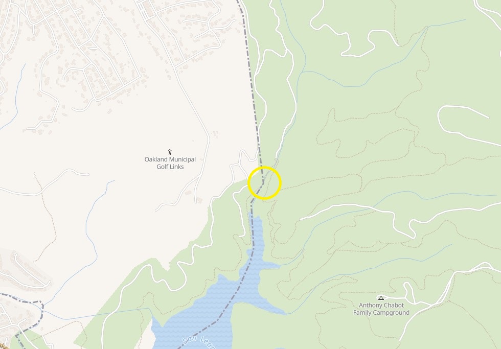
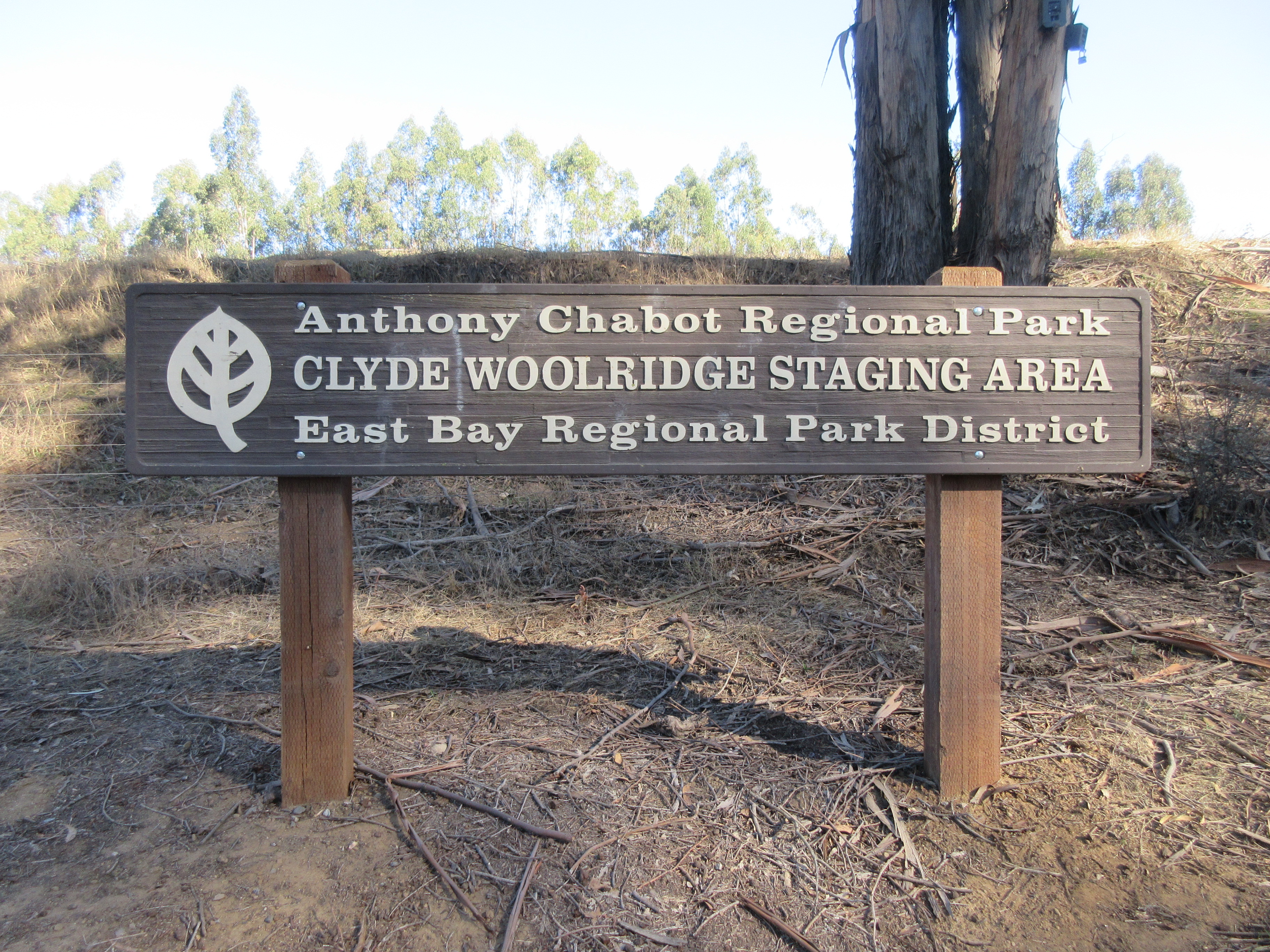
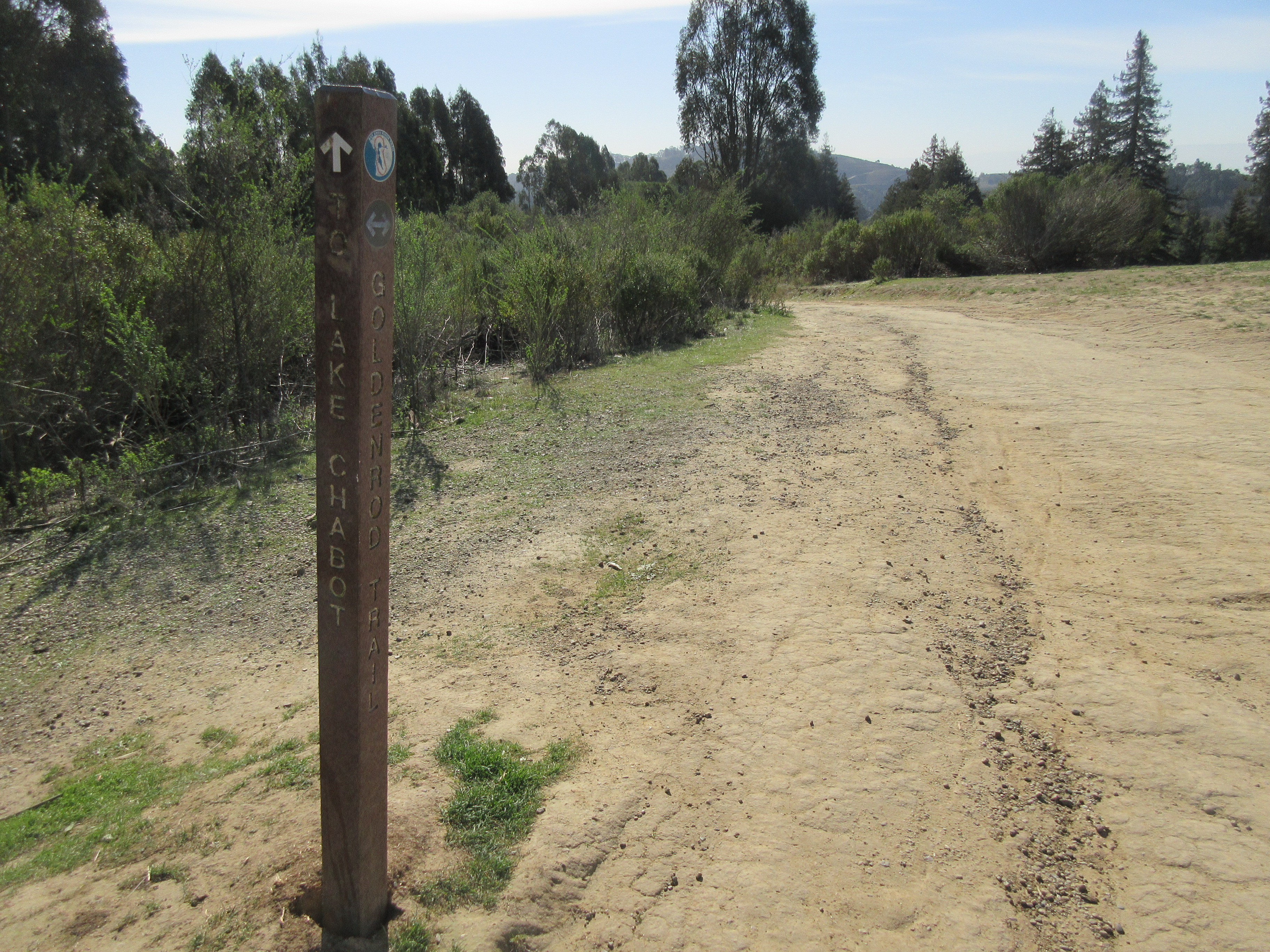
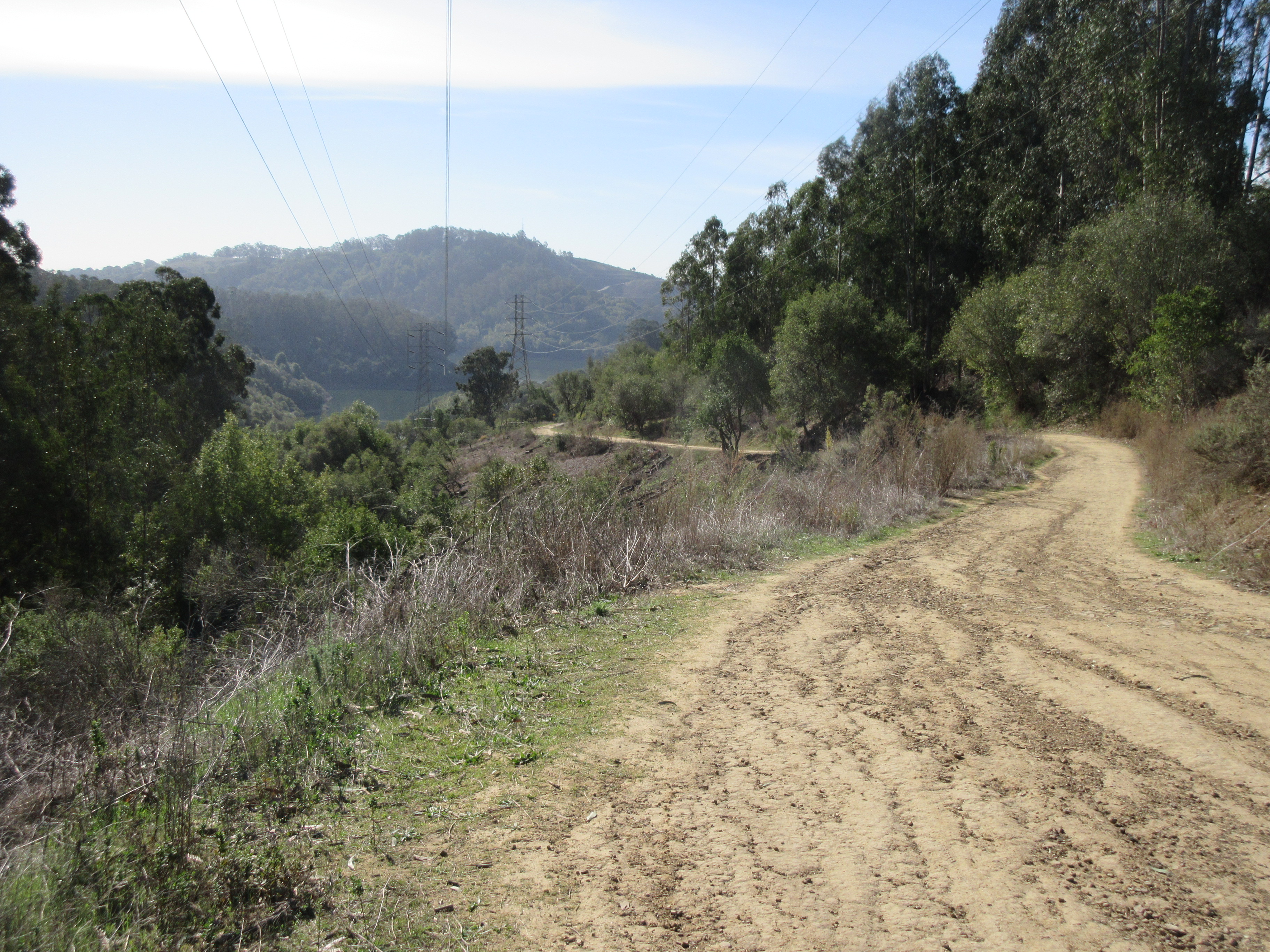
The easiest access is from the north, starting at the Clyde Woodbridge staging area at Golf Links x Skyline. The easternmost point is about 0.9 miles from the parking lot, directly east of a point 0.34 miles south from the intersection of Goldenrod x Columbine Trails. You either have to clamber down the slope there (lots of chipped wood, probably from maintenance work under the power lines over the years) or keep going to just before the rightward half-loop in Goldenrod; go down the rounded bare hillside to the left and pick up the abandoned road/trail.