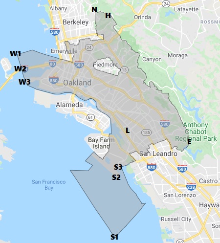
Absolute (W1): A point in San Francisco Bay between Emeryville and Treasure Island, 37°50’09.4″N 122°21’21.0″W (37.8359523-122.355841)
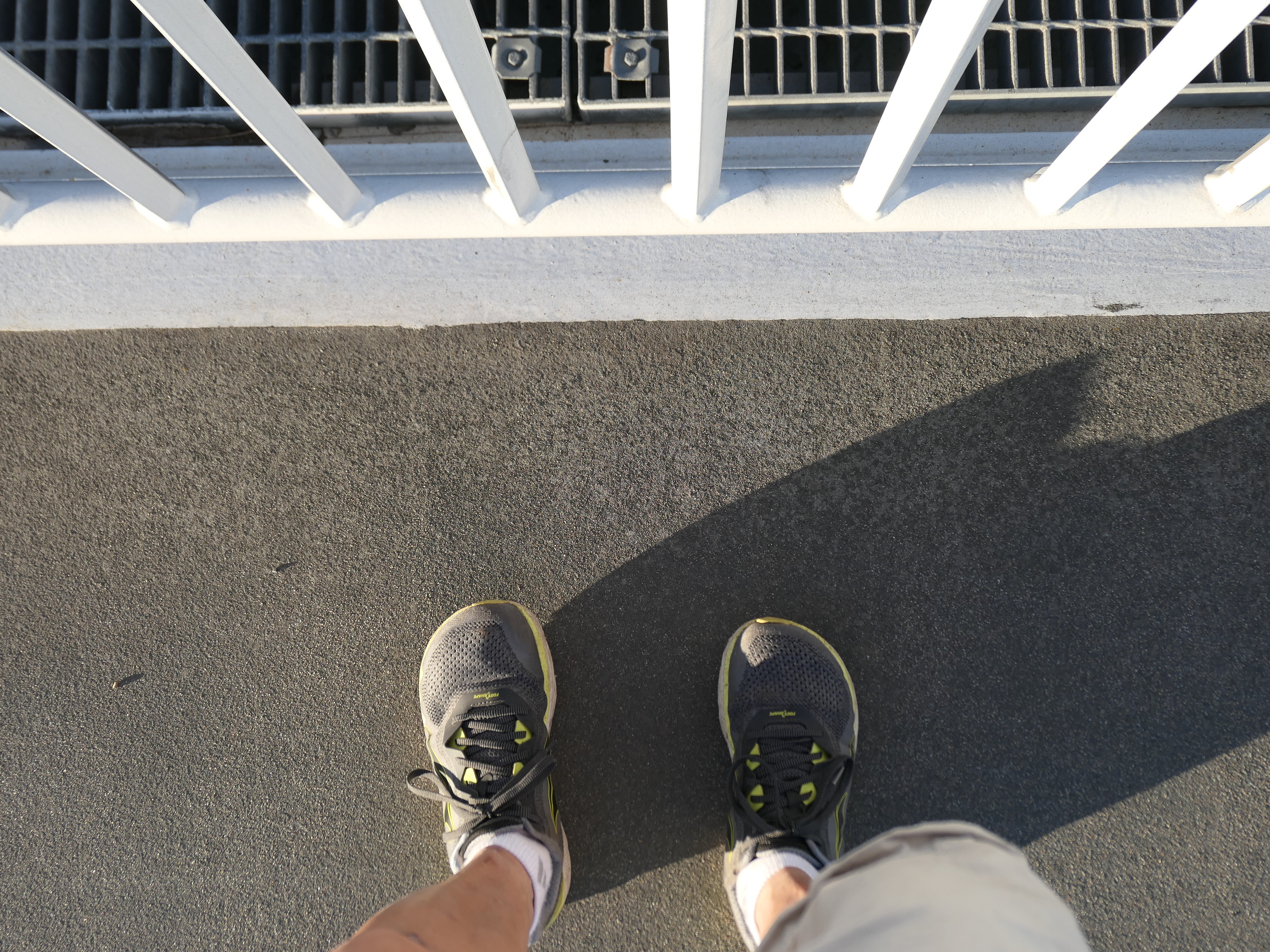
Accessible on roadway over water (W2): A point on the Skyway portion of the Eastern Span of the San Francisco-Oakland Bay Bridge, just about exactly 2 miles westbound from the Toll Plaza, or just a hair over 1 mile eastbound from the exit of the Yerba Buena Tunnel (there are easy-to-miss county border signs alongside); the border point on westbound Lane 5 (slow lane/breakdown lane) is the westernmost, 37.819259, -122.3498551; 37.81742269, -122.34913838; on the other side of the bridge, the border crosses the pedestrian/bike path there at 37.818674, -122.349643
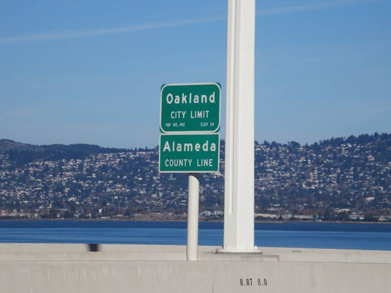

suspension span is not actually in Oakland proper!
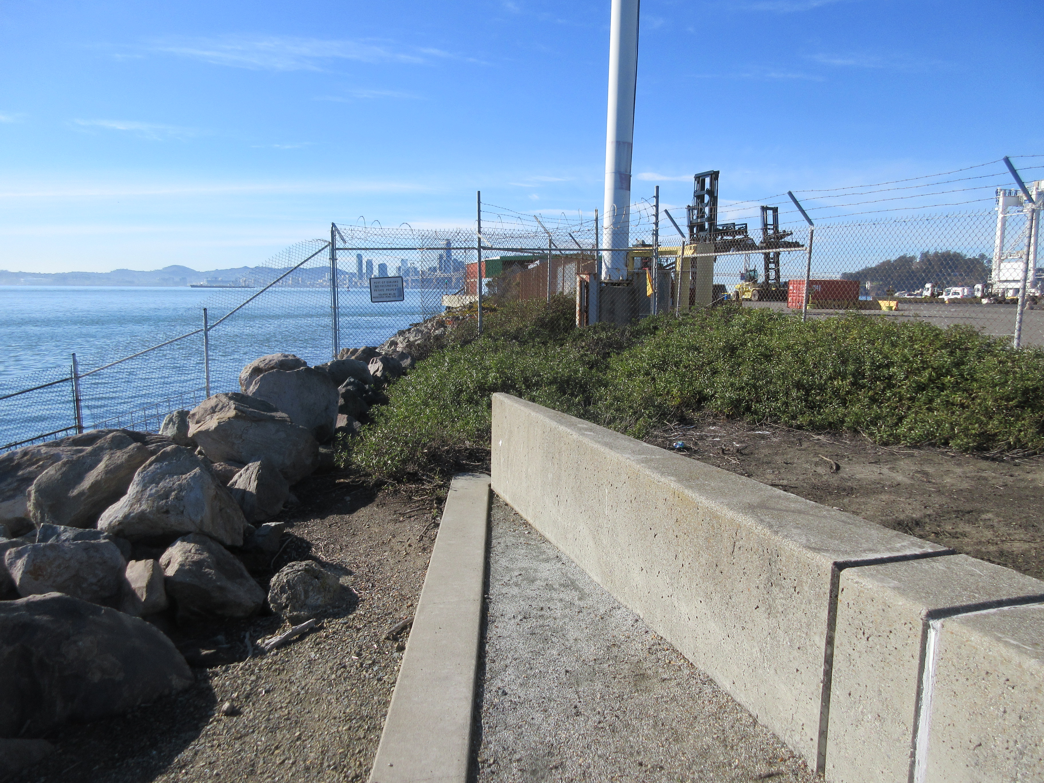
On land (W3a): Tip of the Ben E. Nutter Terminal at the Outer Harbor of the Port of Oakland,
37°48’20.91″N 122°20’33.59″W (37.805808, -122.342664). Nutter was a former director of the Port in the 1960s-70s and is credited with bringing the containerization revolution to Oakland.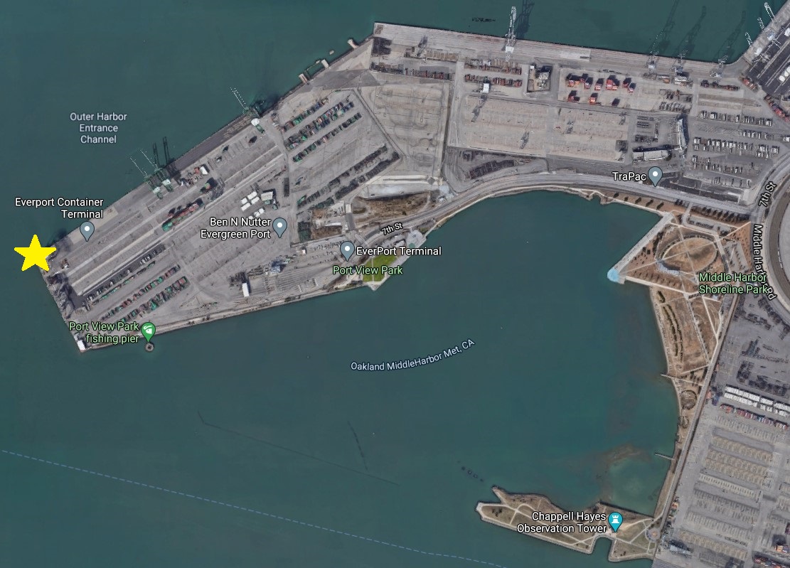
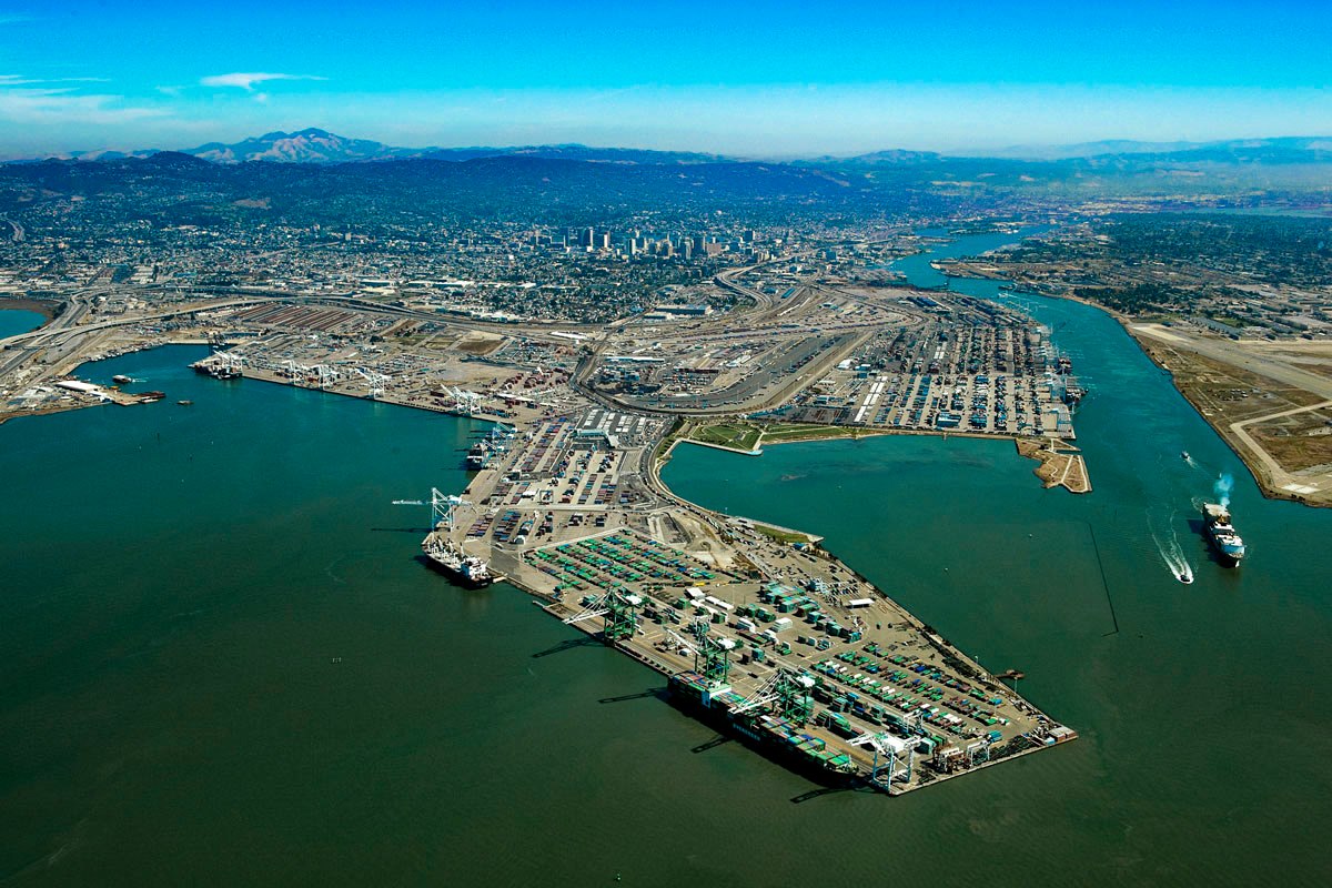
![]()
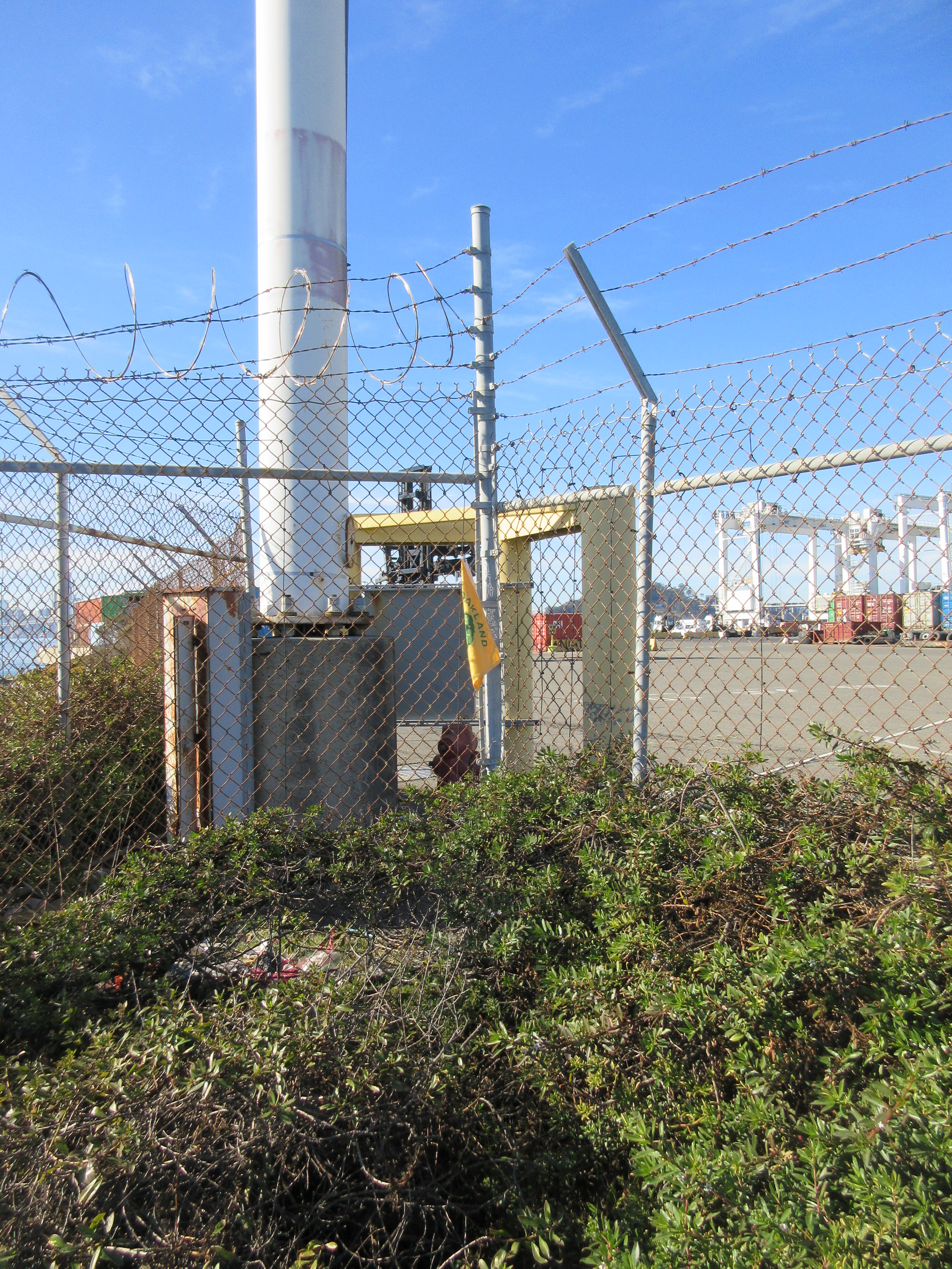
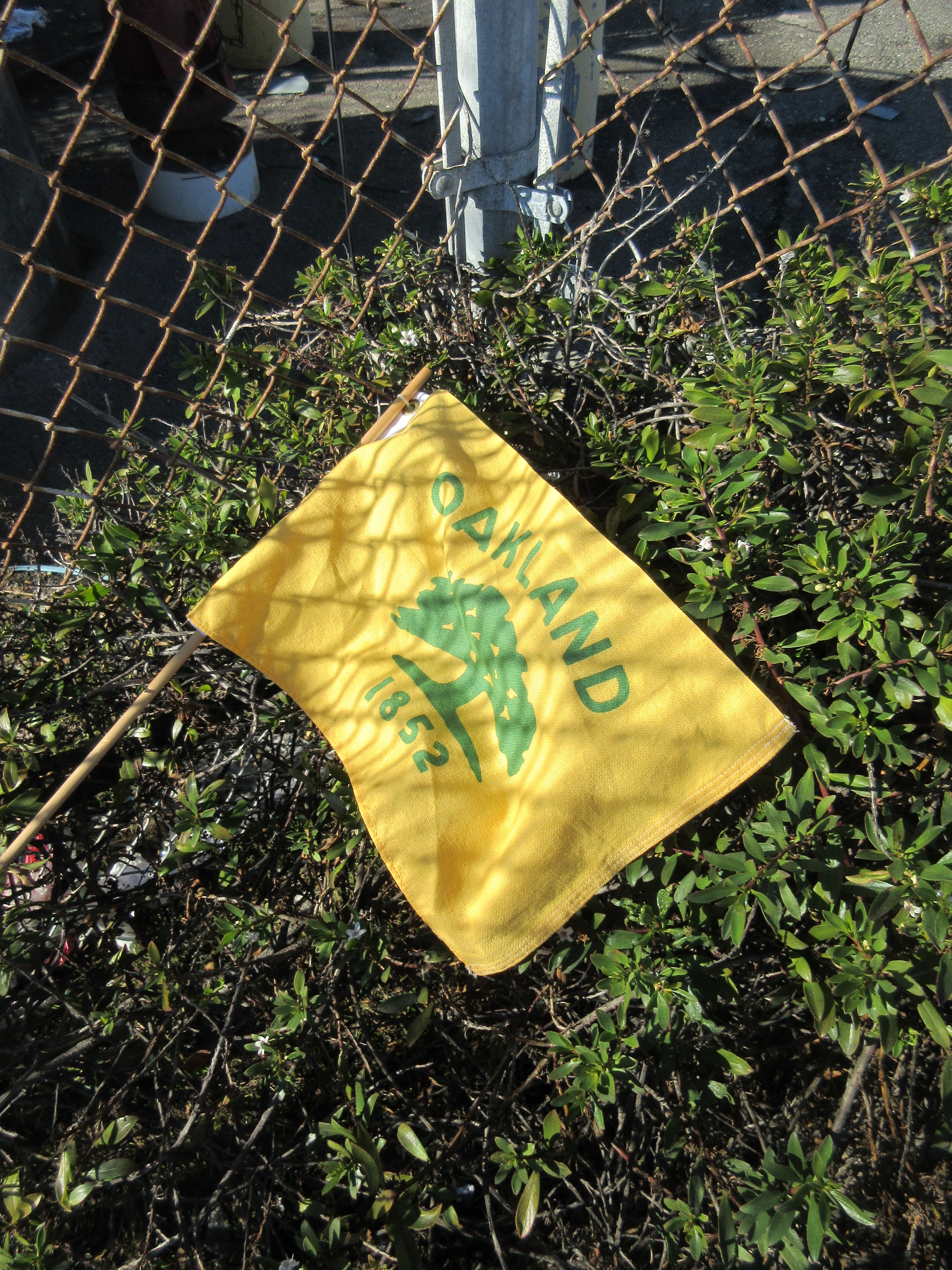
On land, publicly accessible (W3b): At the end of Port View Park, at the far right fence line, behind the bushes, 37°48’14.43″N 122°20’24.51″W (37.804016, -122.340127)